August 27, 2016
Gaspe Peninsula, QC, Canada
2300 km along the shores and forests of eastern Quebec
photo
road-trip
landscape

In September 2015, my friend Arnaud came from France to visit me in Canada. Being both pretty fond of spending hours in the cold trying to capture the best from the light, we thought it was a great opportunity to load the car and hit the road for a photo trip!
We hit reset on the mileometer in Chicoutimi, our starting point, and drove east to catch the next ferry in Les Escoumins to cross St Lawrence river. Once on the other side, we didn't really know what to expect, just that we would try to spend the night in the Bic National Park, with our almost-fully-equiped/house-on-wheels Dodge Caravan.
On the map below, you can see (roughly) the road we've taken, a total of about 2300 km in a 8 days.
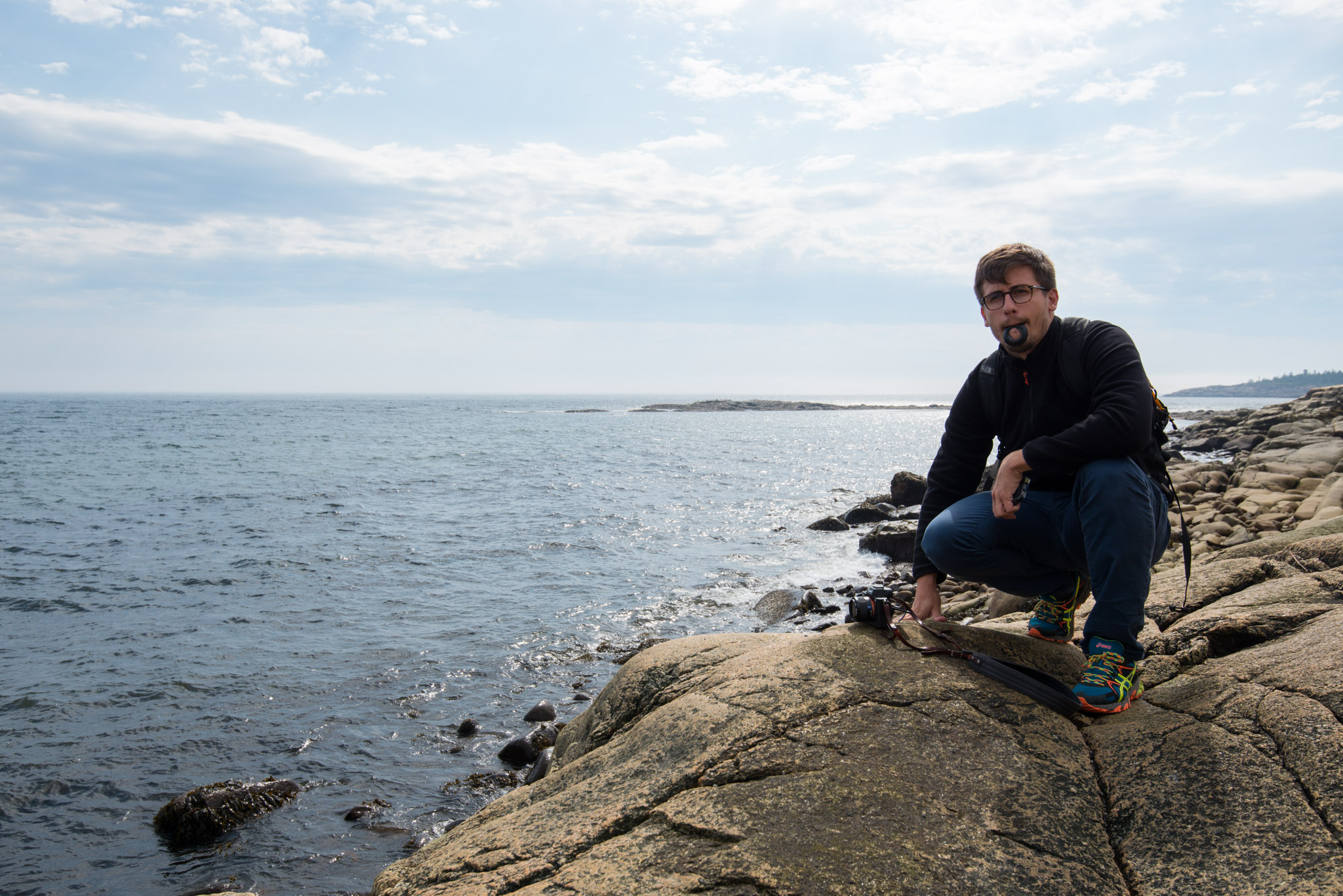
Arnaud, before taking the ferry, les Escoumins
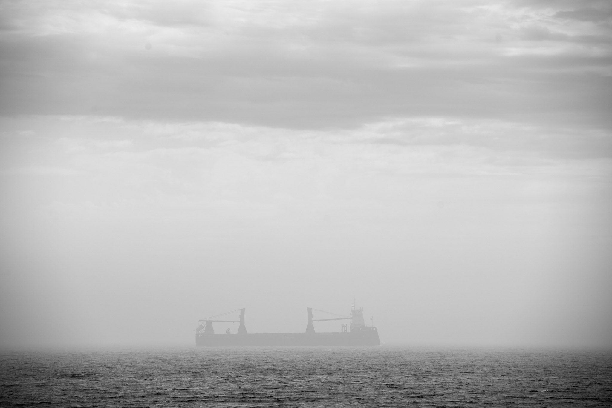
The kind-of-creepy crossing of St Lawrence River
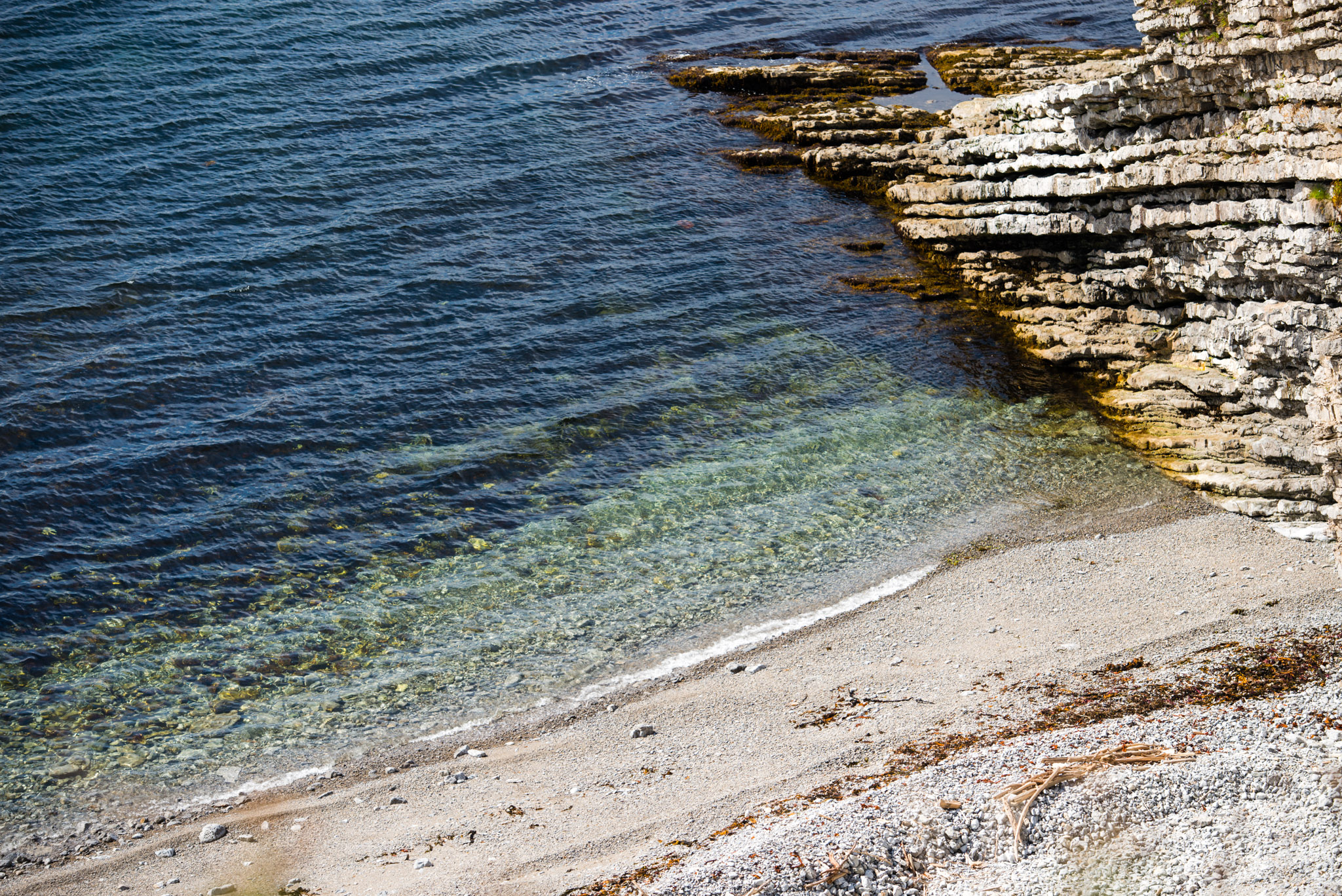
On the other side, Bic National Park
Bic National Park
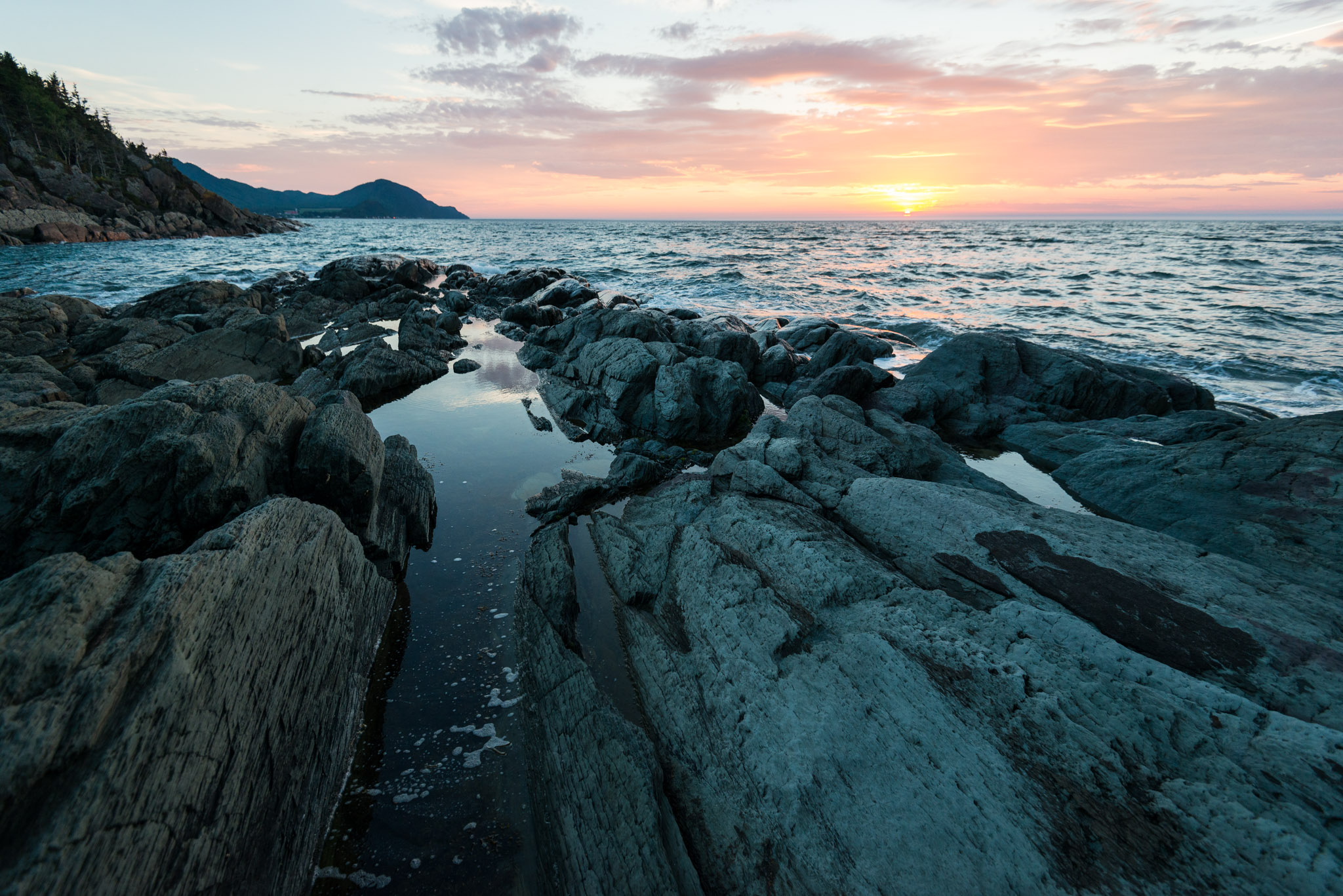
Bic National Park
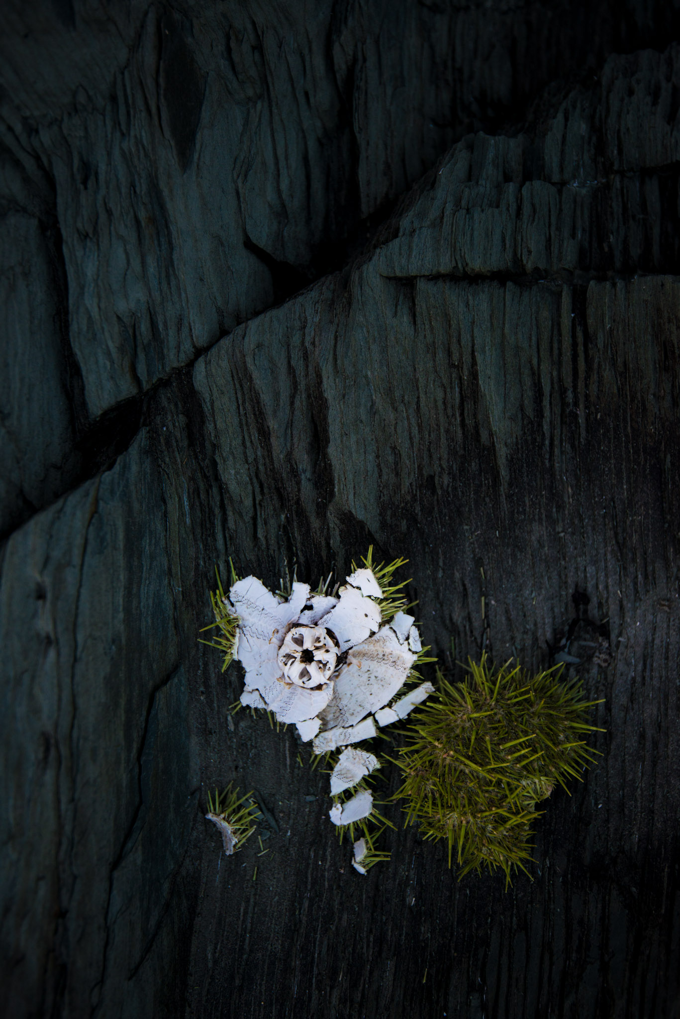
Smashed see urchin, Bic National Park
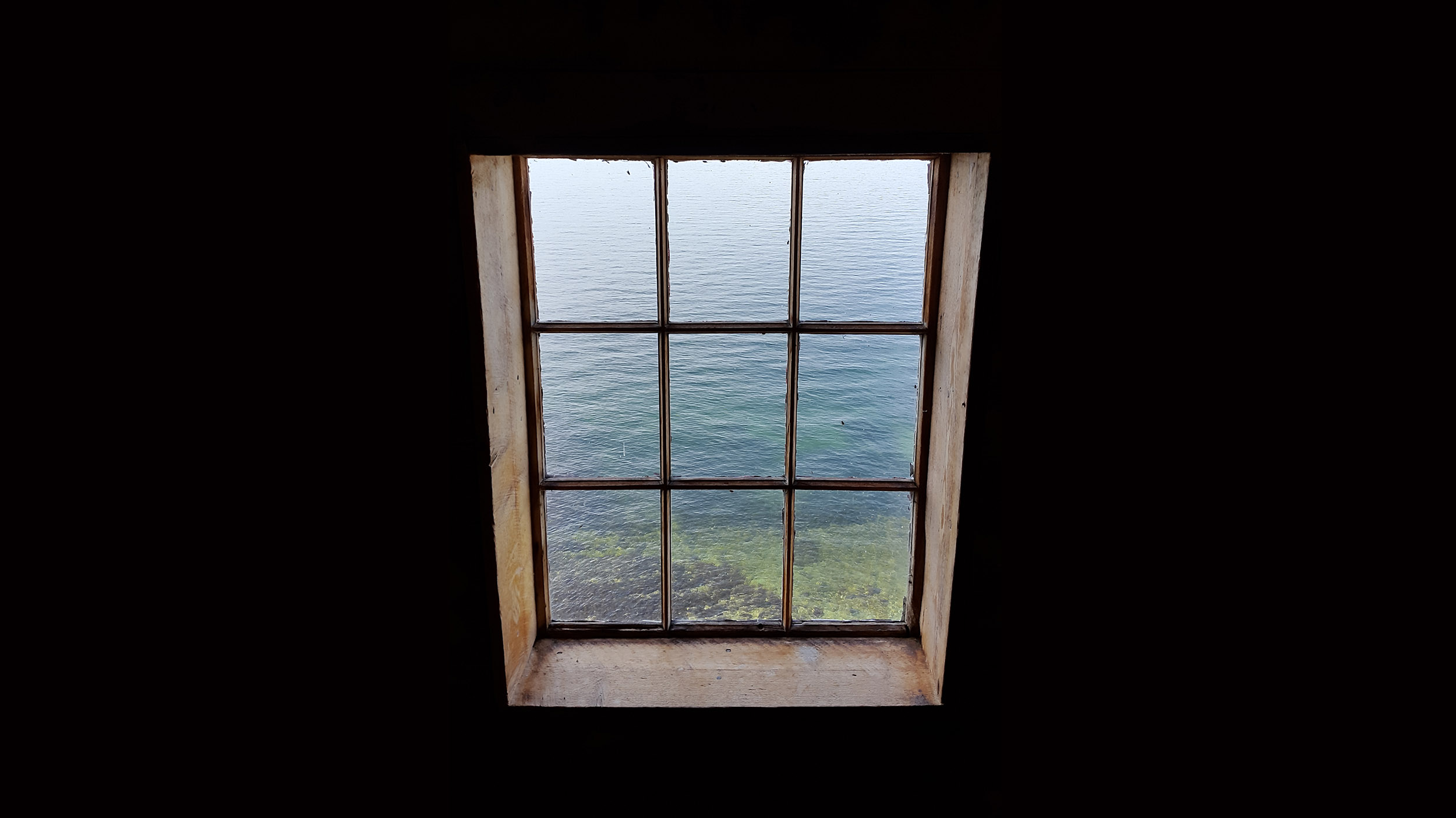
Some light testing on the beach of Bic National Park
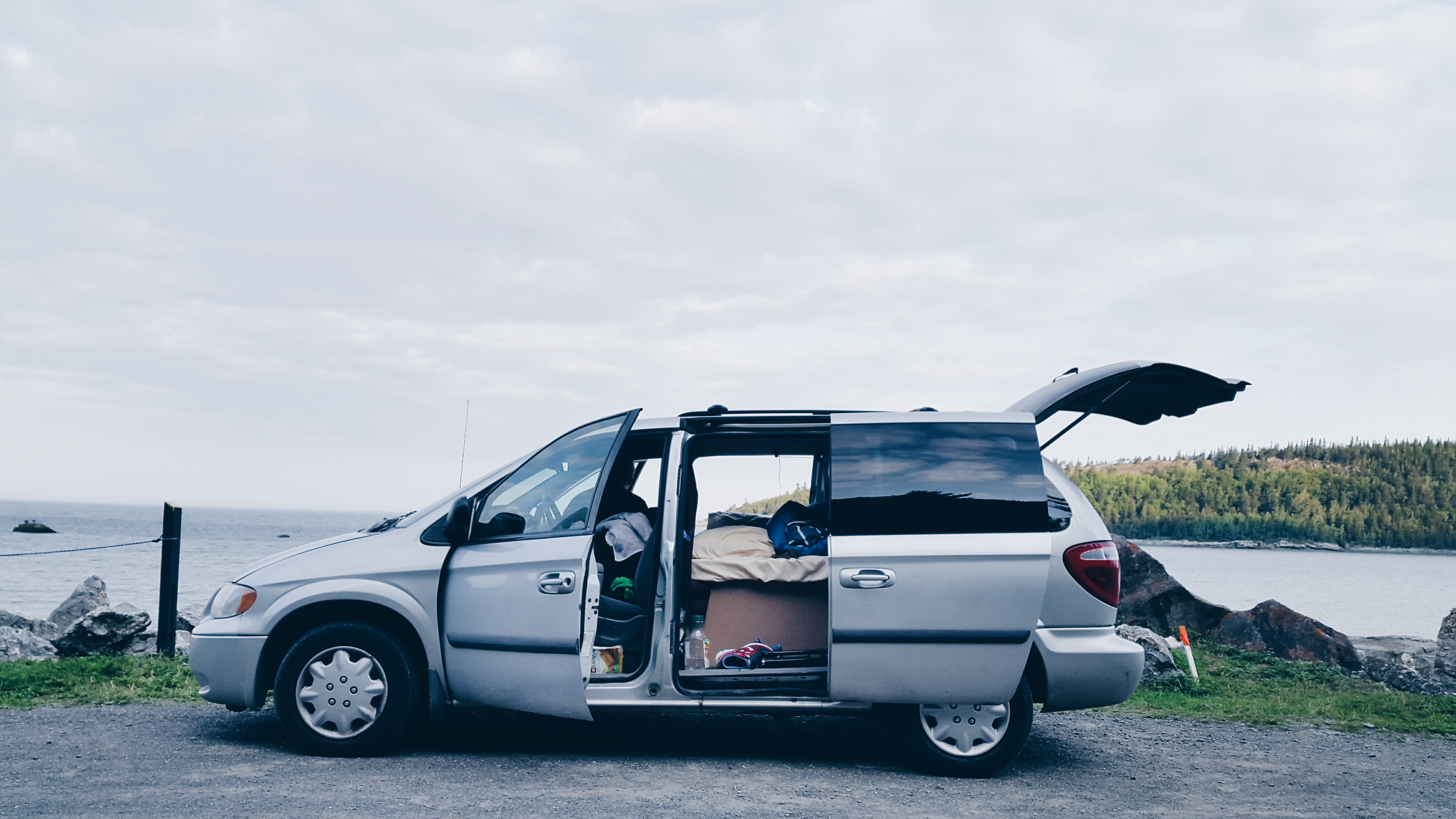
Our house for the week to come. First morning, it's already quite a mess in there.
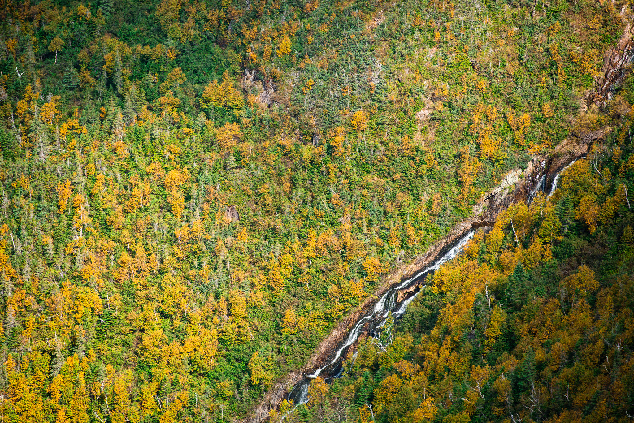
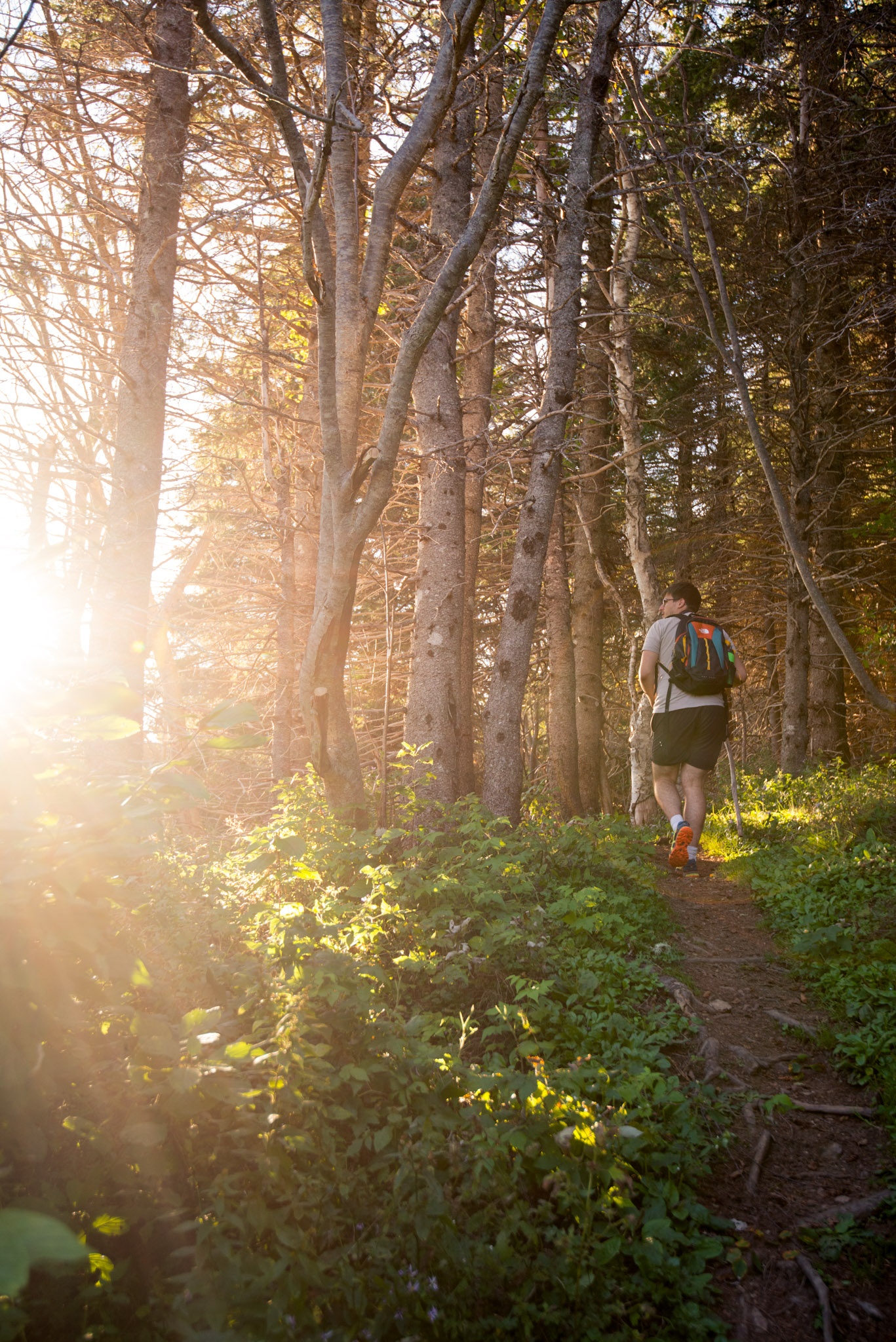
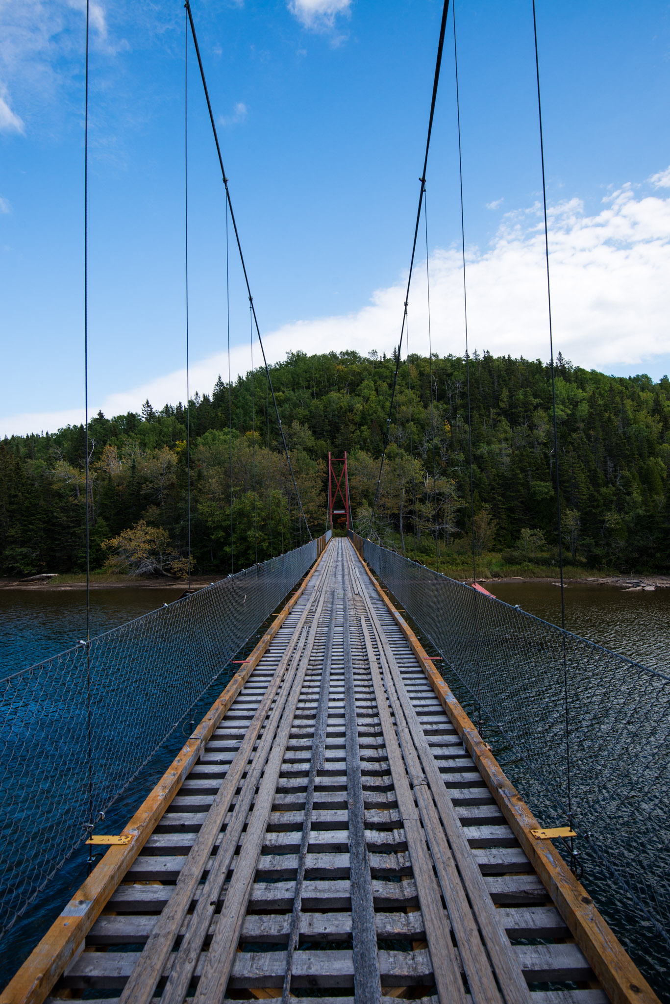
Before coming, Arnaud did a bit of homework, trusting his advice, we took the direction of the National Park of Gaspe Peninsula. The park is not on the shore, so we had to cross a fair amount of forest and little mountains to arrive there. The goal of the day was to climb Mount Xalibu, a good value for us because even though it's a medium level hike, it still offers very nice landscapes!
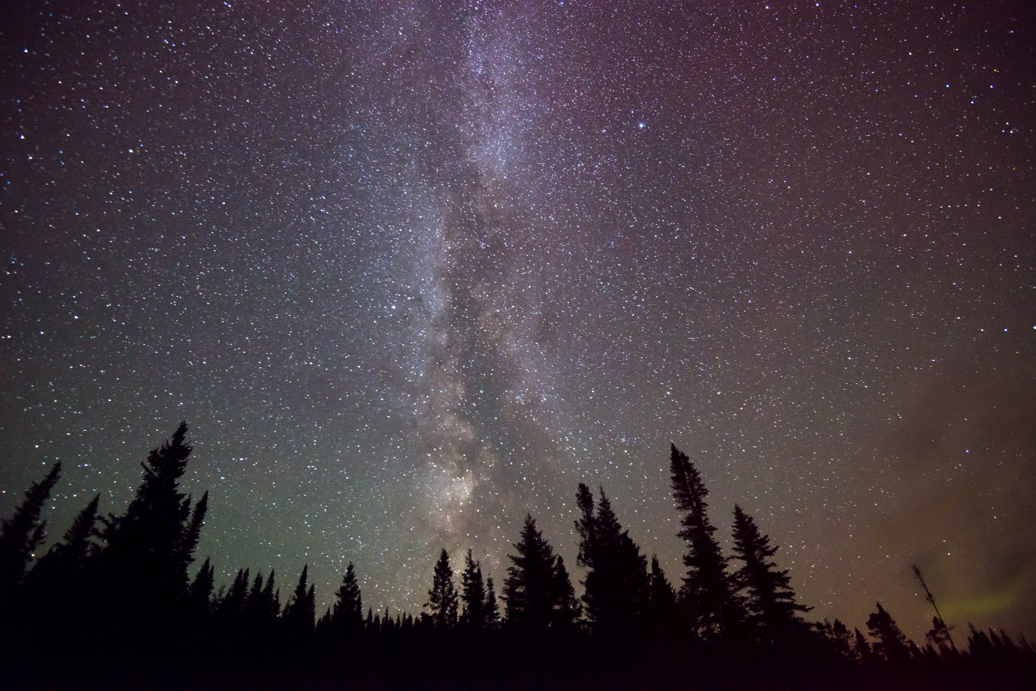
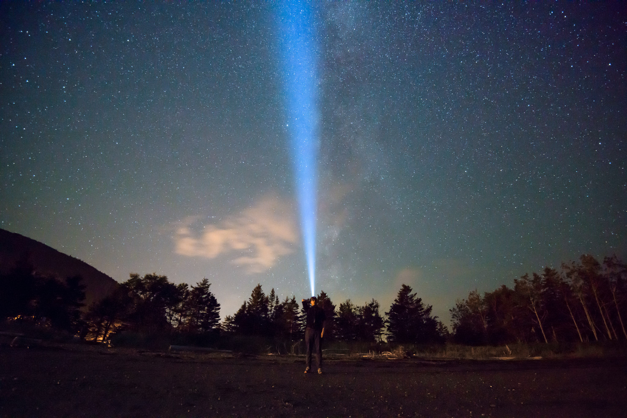
Near the campground of the park, a place with very few light pollution, like most of the Peninsula, actually.
Next stop, Percé and its pierced rock, one of the most touristic place around.
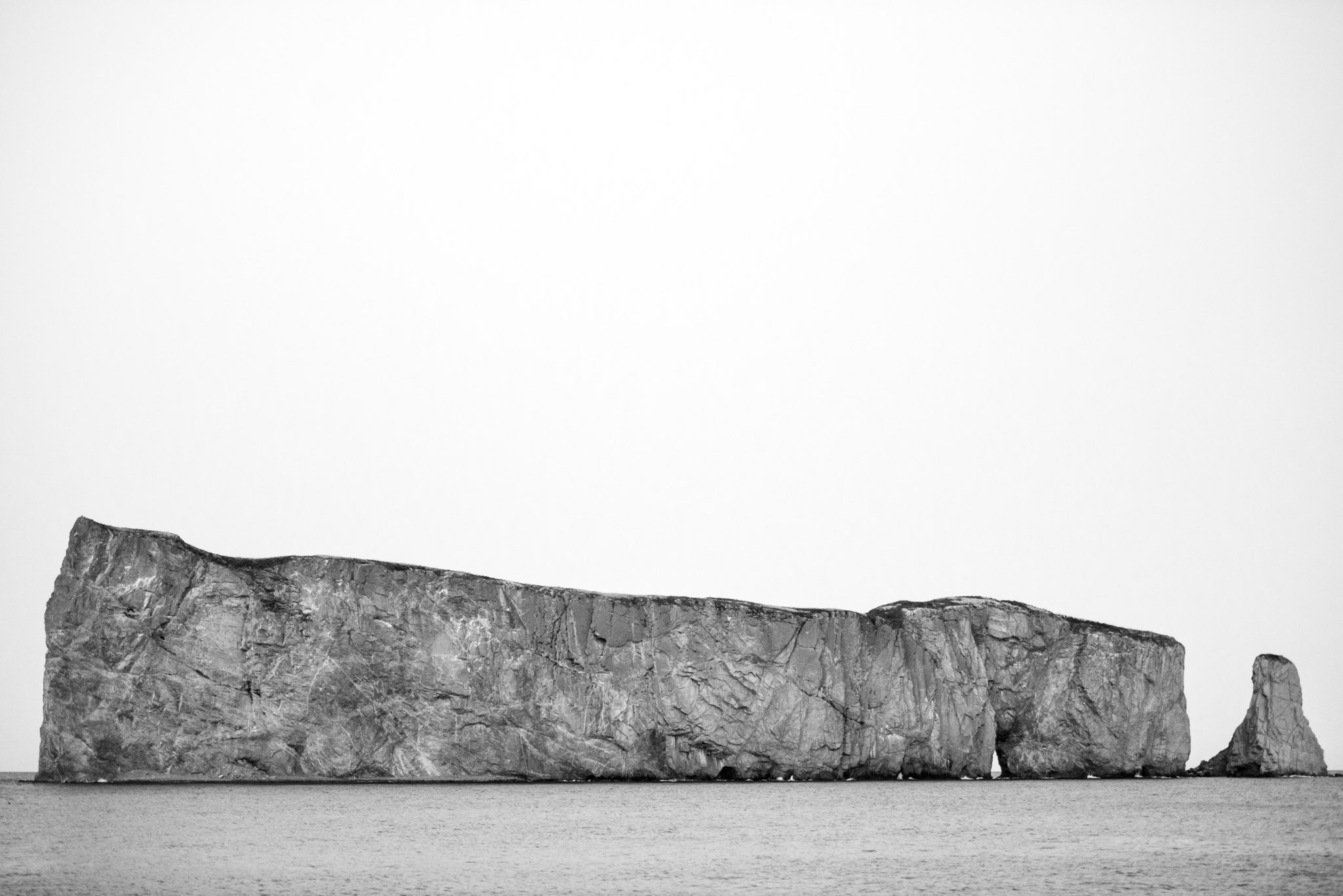
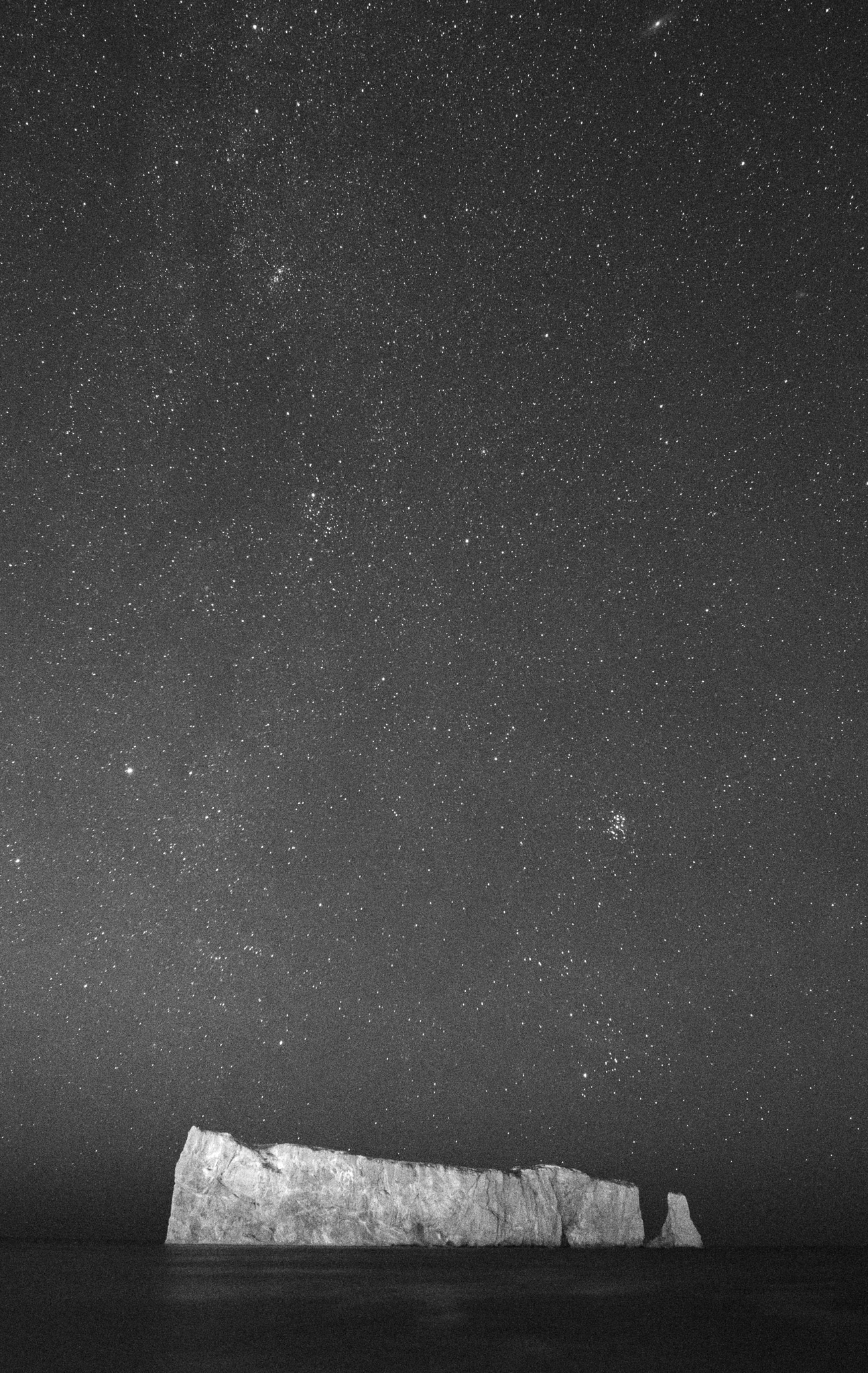
Grainy night shot of the Rock
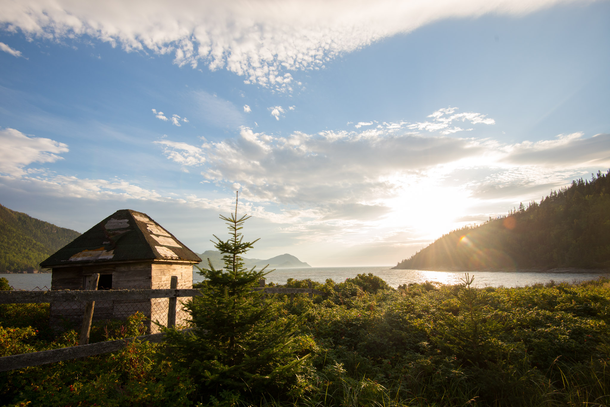
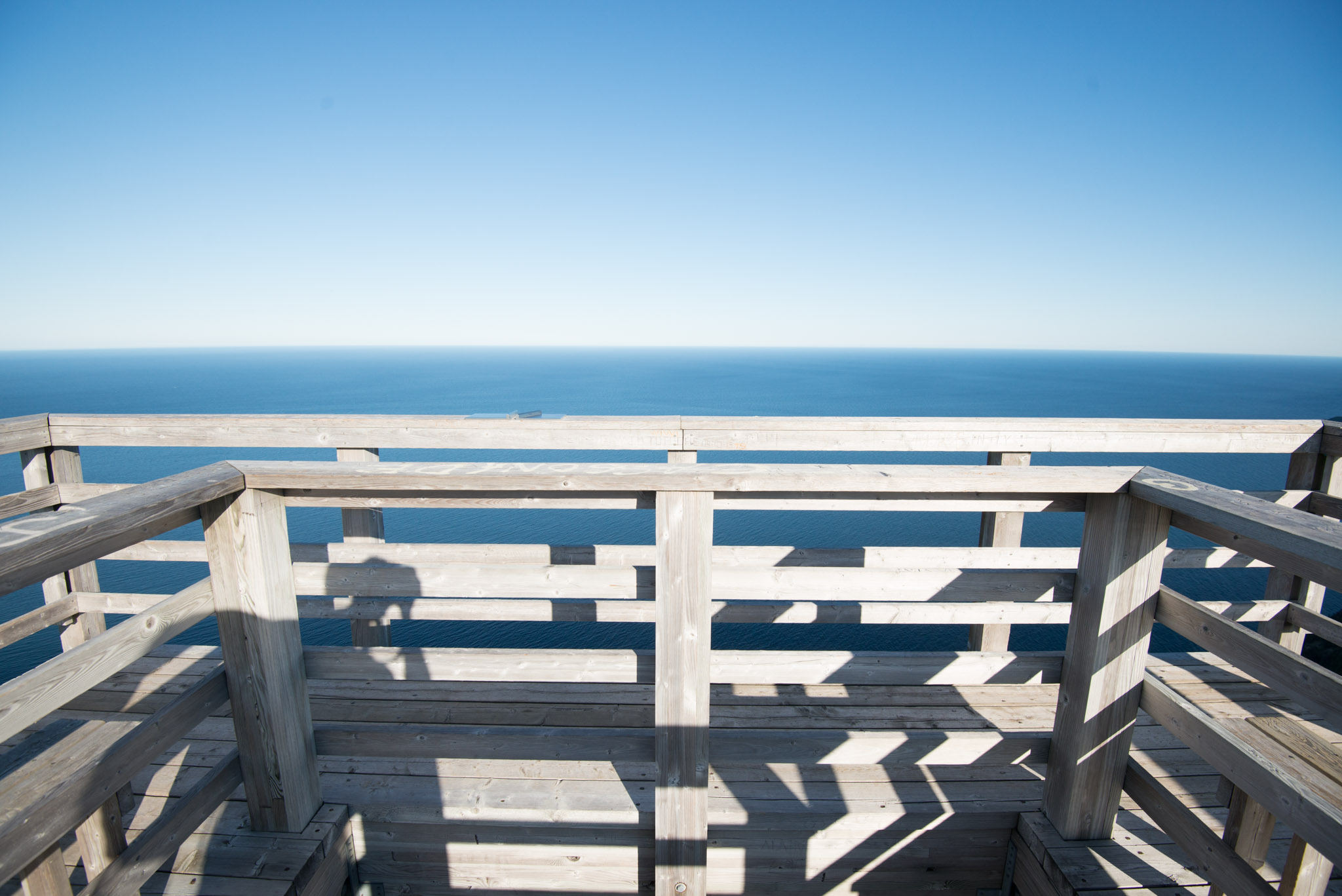
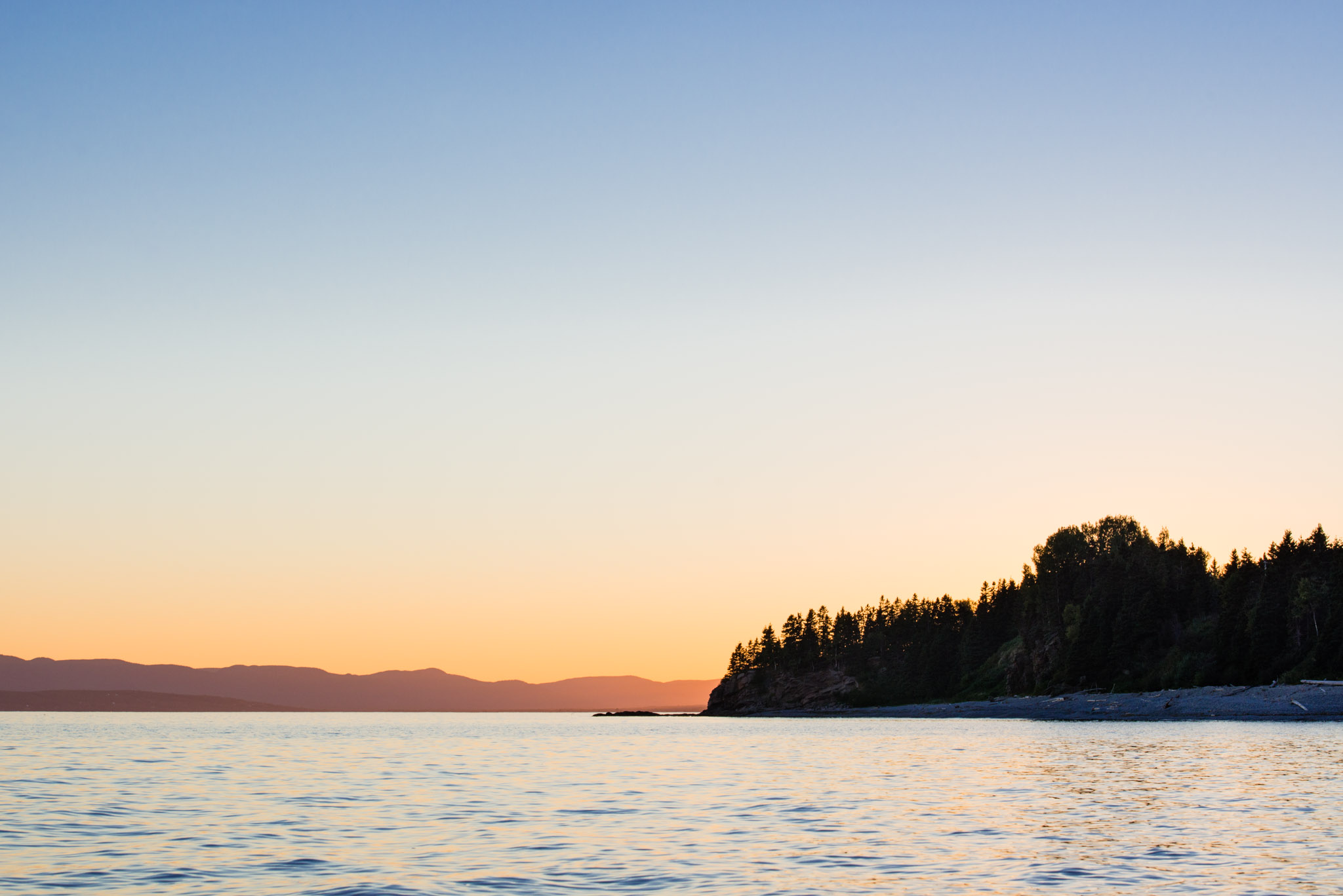
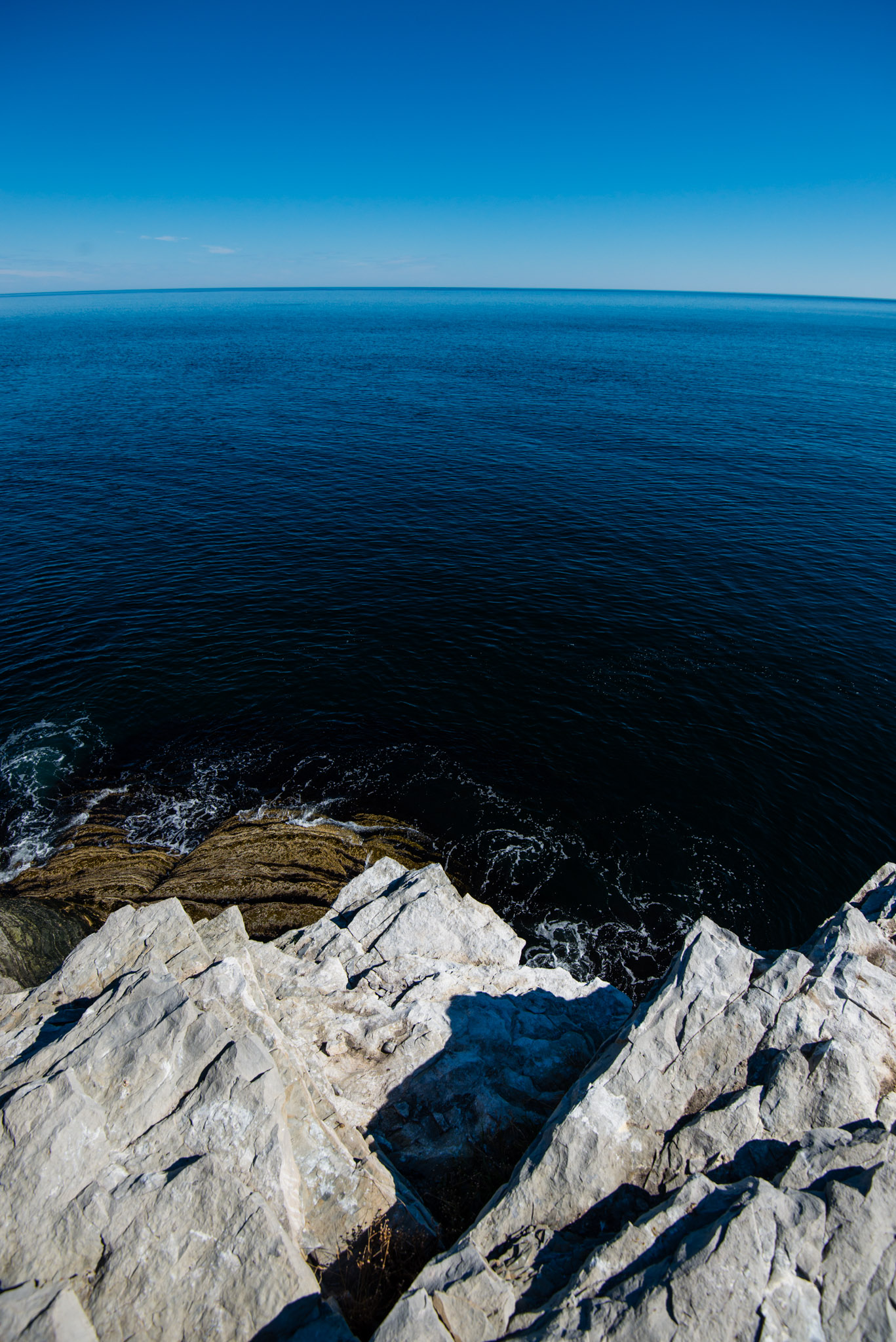
Heading north along the shore, we continued up to Forillon National Park, which is sort of peninsula in the peninsula, giving the feeling to be at the end of the continent.
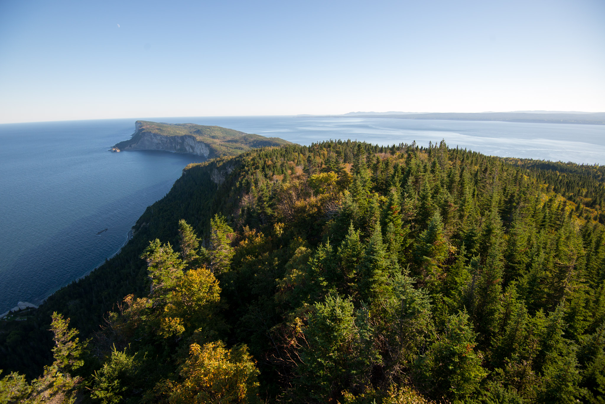
A wooden watch tower in the middle of the forest, from which I also took the previous shot.
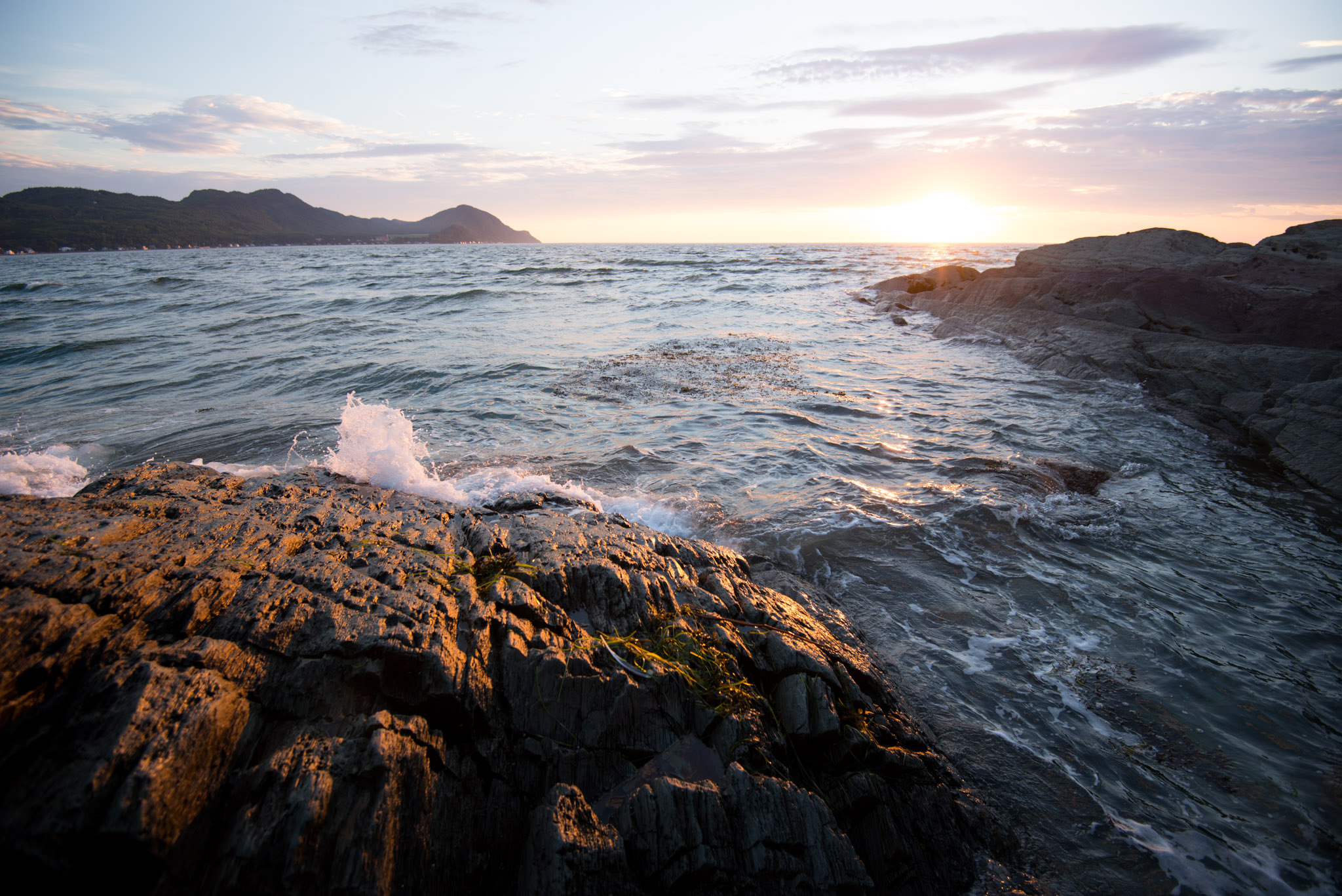
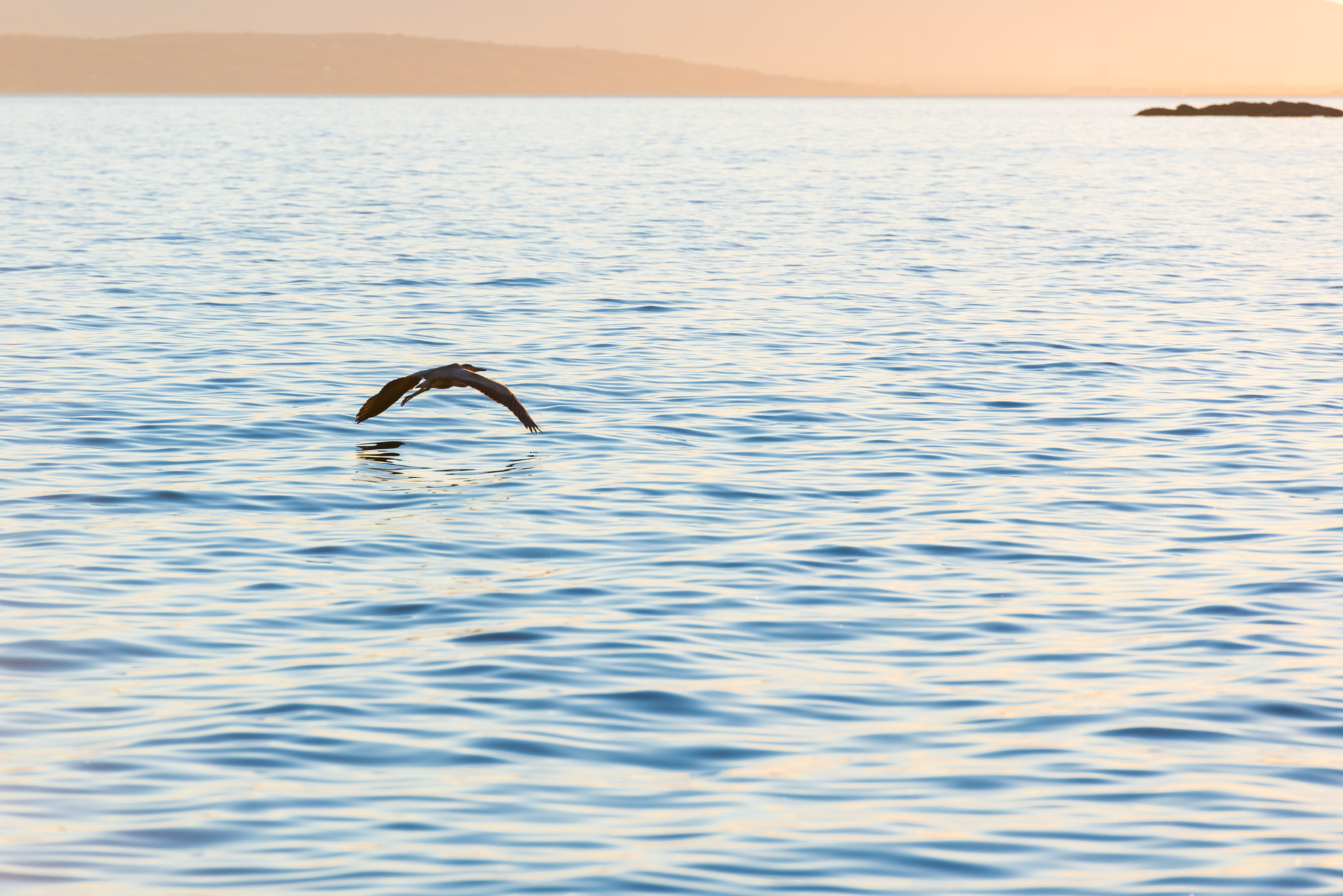
I found the shore of Forillon National Park very peaceful and relaxing. It's a great place to take some pictures at the evening or at night, and with a bit of luck, you could see some seals, nice birds or even a bear -- or maybe we simply got lucky!
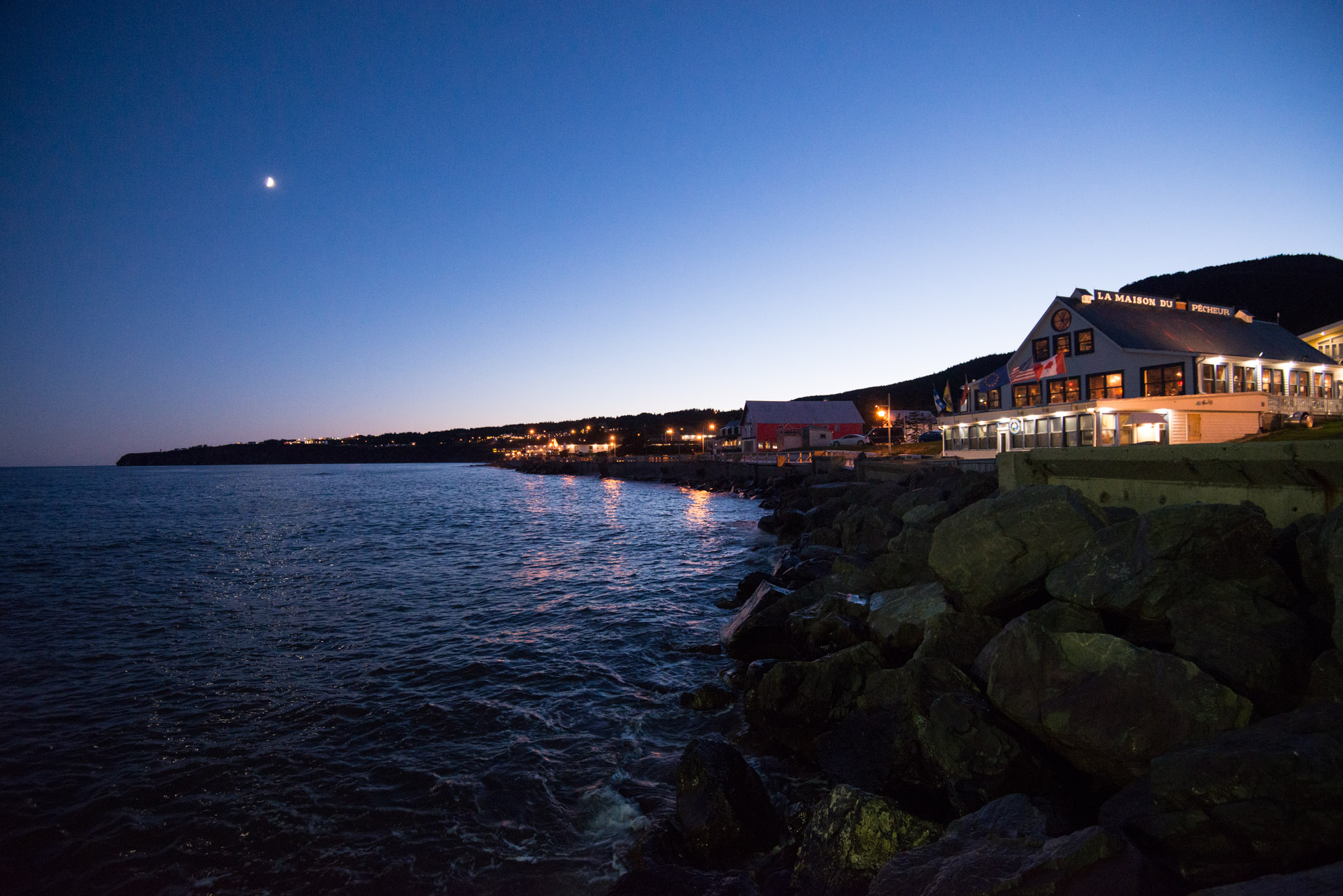
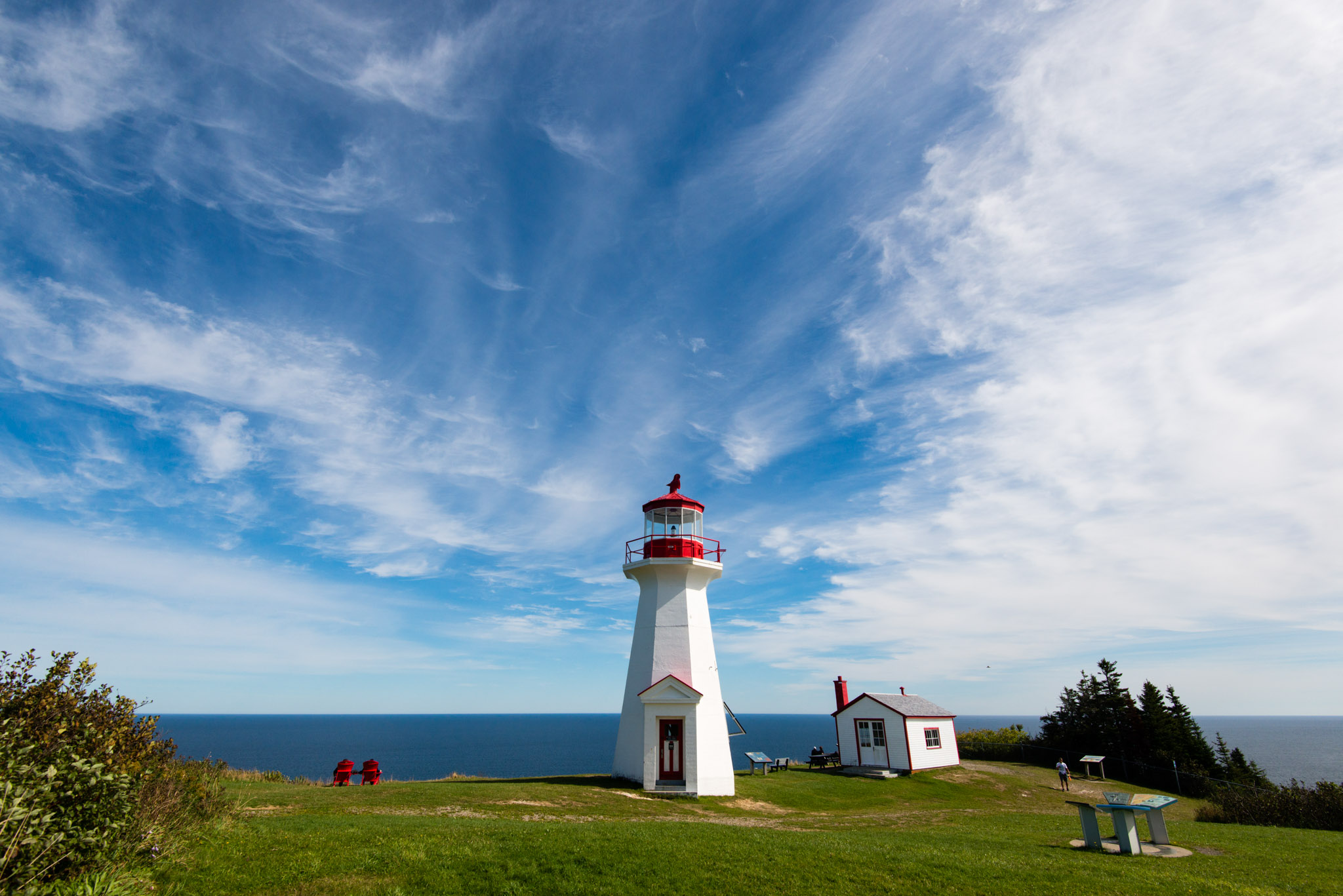
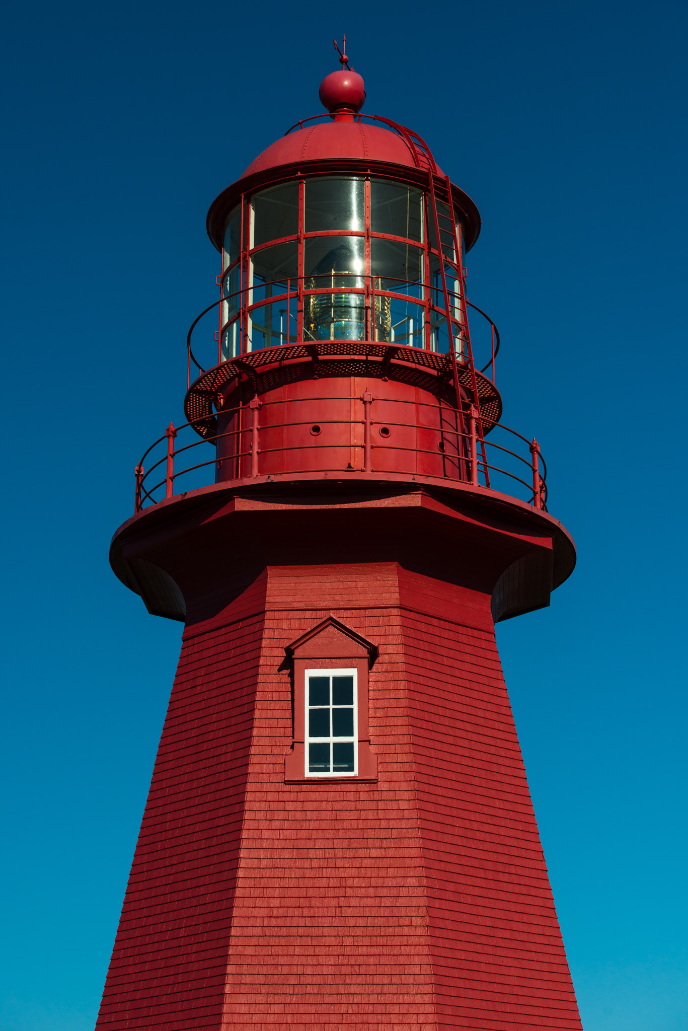
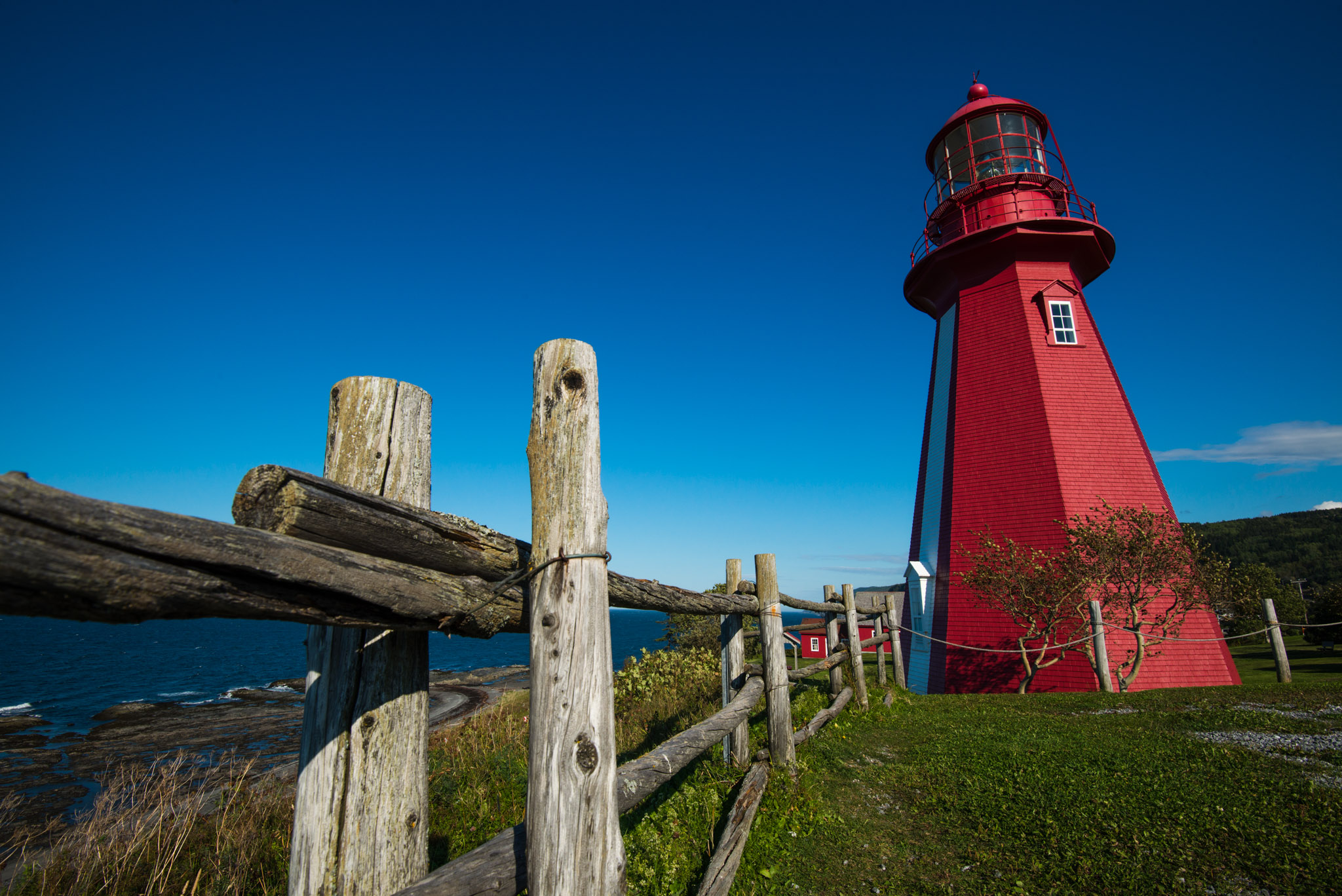
Starting from Forillon and heading west along the shore to close the loop, we've seen quite a lot of colorful lighthouses.We even found maps with all of them located on it so that lighthouse-enthusiasts won't miss any of them.
Close to the end, only few kilometers remain before crossing back.
Obviously, we took both quite a lot of pictures and here is only an extra-short selection. In the end, I noticed I took as many photos as kilometers driven: about 2300. We'll see on the next trip if it works like that again!
Cheers.
Cheers.